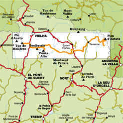
PARC NATURAL DE L’ALT PIRINEU
15,00€
2 Hiking maps + folder
Scale 1:50.000
Edition 2024 / 2025
•Folder + 2 hikking maps
•Scale 1:50.000
•Equidistance contours: 20 m distance
•Master contours: at 100 m
•Shady relief
•Compatible with GPS
•Marked routes
•Land use symbolized at three levels
•Folder with excursions and information of interest to hikers


