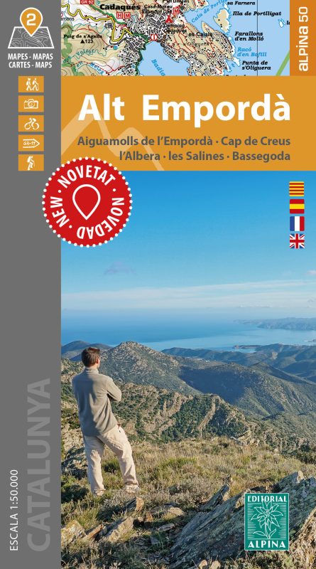
ALT EMPORDÀ
14,00€
2 hiking maps
Escala 1:50.000
Edición 2019 / 2020
Map Language: Catalan, Spanish, French, English
•Two hiking maps
•Scale 1:50.000
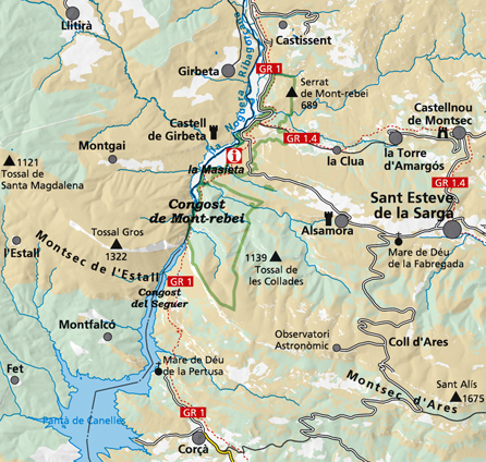
•Equidistance contours: 20 m distance
•Master contours: at 100 m
•Shady relief
•Compatible with GPS
•Marked routes
•Land use symbolized at three levels


 Català
 Español